
Add to Calendar
Get a Timely Calendar
When:
@ 9:00 am – 1:00 pm
2016-06-04T09:00:00-07:00
2016-06-04T13:00:00-07:00
Where:
20002 E Belmont Rd
Mica, WA 99023
USA
Mica, WA 99023
USA
Cost:
Free
Contact:

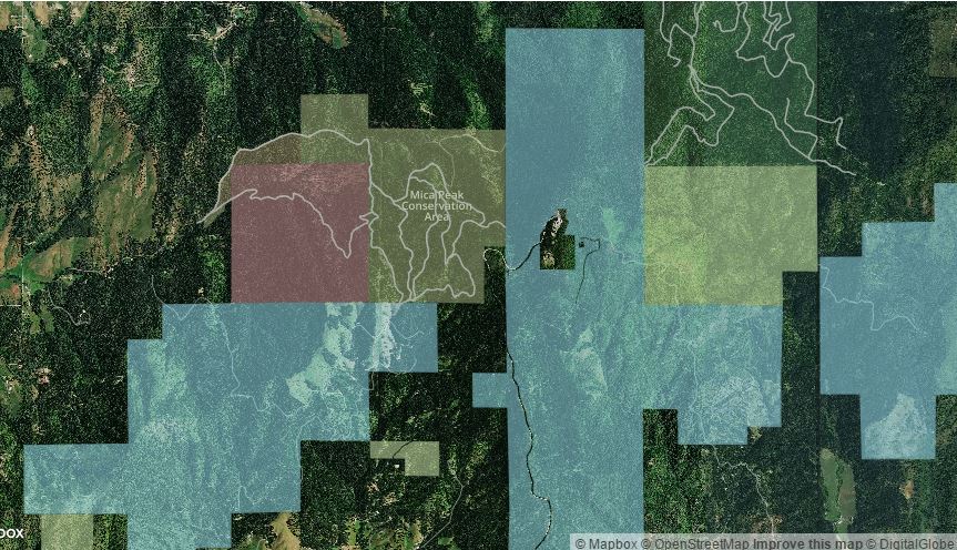
The Spokane County Parks, Recreation & Golf Department is hosting two Mica Peak Conservation Area Trail Mapping Events. These events are an opportunity for hikers, backcountry horsemen, mountain bikers, and community members to discover Mica Peak and map the trails as the first step in developing a recreational trail plan for the conservation area. Participants should bring GPS or smart phone with Collector for ArcGIS (free application) to map their routes for inclusion in the trail map. Instructions for the Collector app, along with a manual entry base map to print, can be downloaded here.
When:
- Saturday, June 4, 2016, from 9:00am – 1:00pm
- Saturday, June 11, 2016 from 9:00am – 1:00pm
Where:
- Mica Peak Conservation Area Trailhead at 20002 E. Belmont Road
What to bring:
- Sunscreen and water
- Personal GPS unit (if available)
- Smartphone loaded with the free ArcGIS Collector app (download here)
- ArcGIS Collector instructions and manual entry base map (download here)